LiDAR Uses for Departments
LiDAR has, for a long time, been one of those pieces of technology that seemed unattainable to the average Joe. But thermal was like that at one point, and now for $4k you can have a thermal camera on a drone.
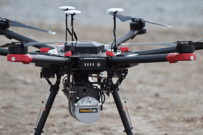
LiDAR is a bit of a different beast though. There’s a lot more to LiDAR than a fancy camera or lens. High powered software and IMU’s are needed in order to take in the massive amounts of data that floods in from the LiDAR sensor. A relatively small job could bring in over 5 terabytes of data. It is becoming more common though. If you bought the newest iPhone, you have LiDAR in your pocket right now! It’s not ultra advanced like the $100k sensors, but it’s a step towards making more accessible technology.
But how can LiDAR help in public safety, you might ask? If you have extremely precise maps of cave systems or areas where people tend to get lost or hurt, you’re already a step ahead. Knowing your terrain is a huge part of any search and rescue mission. Also knowing where your search vehicles can and can’t get to protects the loss of equipment and potentially life.
Fire fighting could also benefit from LiDAR. Mapping terrain and vegetation for fuel breaks, documenting the conditions before and results after fuel reduction projects, maybe for purposes of grant justification and results documentation too.
Do you have any other cool ideas for how LiDAR could be used in public safety? Let us know! We would love to hear how this tech could help in the future!